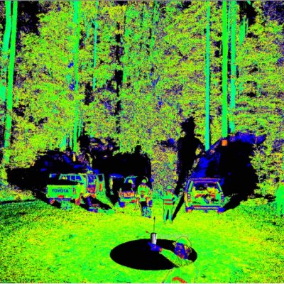
Drones, laser scanners, planes and sharp shooters have been put to work in the Tasmanian forest to better understand the environmental effects of forest management regimes.
23 February 2015A $600,000 Australian and U.S. research project has pioneered ground-breaking techniques to map Australian landscapes through a veil of heavy cloud and smoke.
26 October 2000