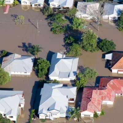
Researchers at The University of Queensland have used satellites with radar imaging sensors to see through clouds and map flooding and say the technique could provide faster, more detailed information to keep communities safe.
23 November 2022
In a world first, a satellite-based global coral reef bleaching monitoring system will scan the Earth’s oceans for coral-killing bleaching events in real-time.
19 May 2021")
Artificial intelligence and extensive satellite imagery have allowed researchers to map the world’s intertidal zones for the first time, revealing a significant loss of the crucial ecosystem.
20 December 2018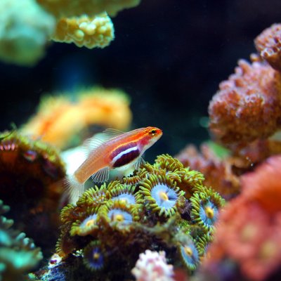
The most up-to-date global satellite images of the world’s coral reefs are now online, thanks to a collaboration between Microsoft’s late co-founder, Paul G. Allen, and a team of international partners including The University of Queensland.
2 November 2018
Twelve projects at The University of Queensland will share more than $4.69m in funding from the Federal Government’s Australian Research Council Linkage Project grants announced in Canberra today.
15 June 2018
A record number of researchers and research supervisors has been honoured for their outstanding achievements at the 2017 UQ Research Week awards.
13 September 2017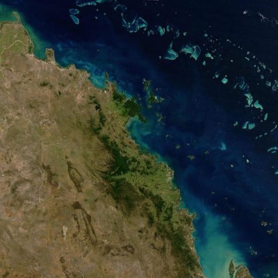
University of Queensland researchers are playing a key role in a NASA airborne mission designed to transform understanding of earth's valuable and ecologically sensitive coral reefs.
22 September 2016