")
Artificial intelligence and extensive satellite imagery have allowed researchers to map the world’s intertidal zones for the first time, revealing a significant loss of the crucial ecosystem.
20 December 2018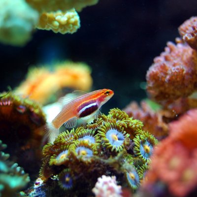
The most up-to-date global satellite images of the world’s coral reefs are now online, thanks to a collaboration between Microsoft’s late co-founder, Paul G. Allen, and a team of international partners including The University of Queensland.
2 November 2018
Twelve projects at The University of Queensland will share more than $4.69m in funding from the Federal Government’s Australian Research Council Linkage Project grants announced in Canberra today.
15 June 2018
The University of Queensland is part of a global mapping and monitoring partnership using satellite imagery and big data processing to respond to the crisis facing coral reefs.
5 June 2018
University of Queensland experts are available to comment on issues around the 2018 Federal Budget. Journalists can contact the following experts below or search by topic or name at UQ Experts.
8 May 2018