By Chris Clarke
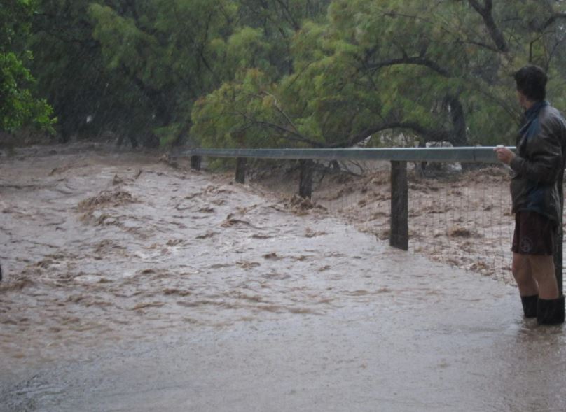
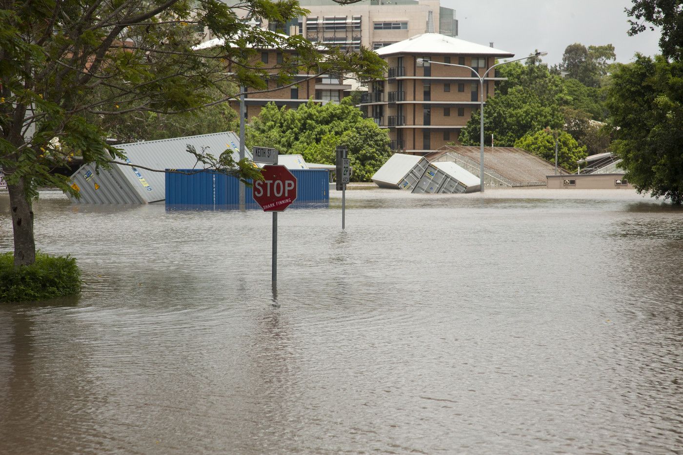
Queensland could expect a much-increased risk of heavy rainfalls and flash flooding later this year as the possibility of a 4th La Niña in 5 years looms.
Conditions are only just now returning to “normal” following a summer of El Niño, which saw cyclones and destructive thunderstorms storms plague the State following a dry spring with bushfires.
But already climatologists are preparing for the possibility of another swing towards the opposite end of the scale.
Australia experienced 3 straight La Niña summers between 2020 and 2022 before El Niño last summer.
As a result, vegetation and rivers are still waterlogged.
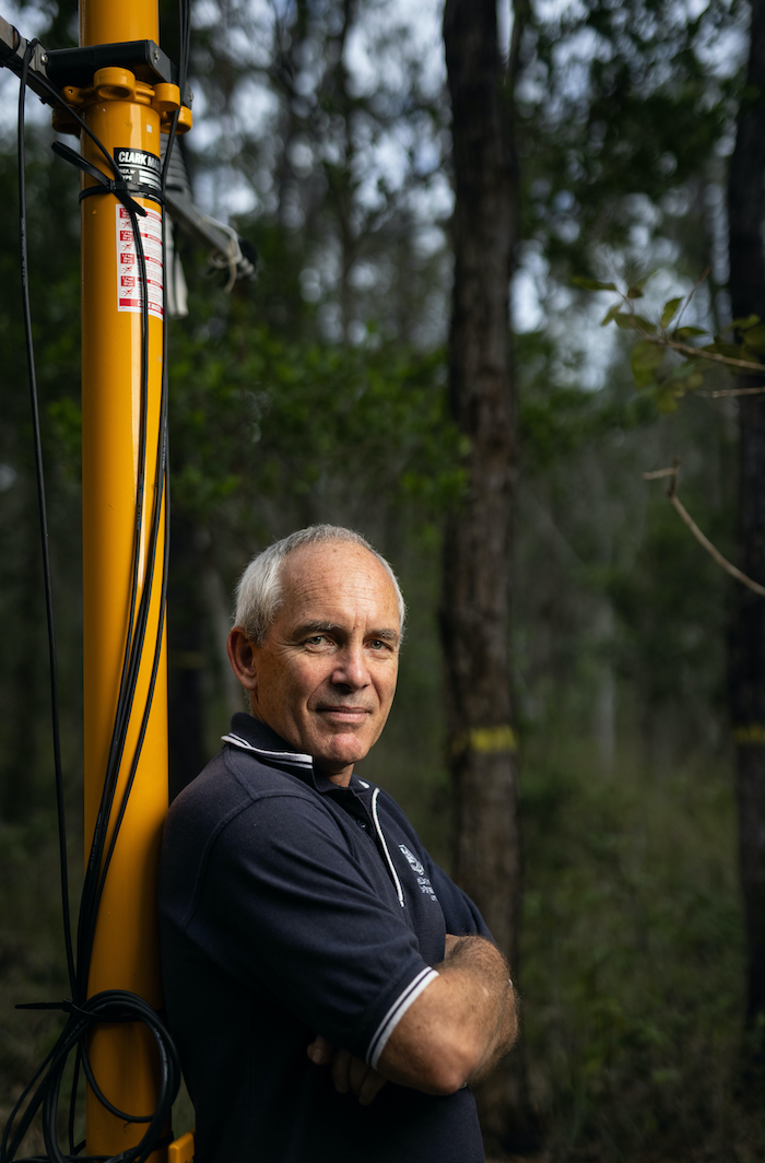
UQ Professor of Climate Sciences Hamish McGowan believes the potential for an increase in flash flooding is high if the current early prediction of another La Niña proves correct.
“To go from 3 consecutive La Niña summers to a strong El Niño this past summer, and then a rapid swing back to La Niña is very unusual,” he told Research News.
“La Niña events historically have occurred every 3 to 5 years.
“With it, there is an increased risk of flooding, particularly flash flooding if catchments remain near saturated.”
La Niña is a cooling of equatorial ocean temperatures in the central and eastern Pacific Ocean.
International climate models indicate Australia would experience a mild winter with temperatures above average and rainfall near average.
Above average rainfall would very likely then occur in the summer.
In its latest climate update, the Bureau of Meteorology said 3 of its 7 international models pointed to a La Niña potentially developing by late winter.
“The oceans have been the warmest on record globally since April 2023,” the statement read.
“Sea surface temperatures continue to increase with temperatures in February 2024 setting a record for that month, and March 2024 on track to be the warmest March on record.”
Meanwhile, the National Oceanic and Atmospheric Administration (NOAA) has estimated that the probability of La Niña returning exceeds 80 per cent by spring.
La Niña's average occurrence is once every 4 years, and an occurrence of 4 in 5 years has only occurred twice since 1900.
Professor McGowan said he was concerned weather will become more extreme in coming years due to “the Earth system being out of energy balance due to anthropogenic global warming”.
“The big unknown is how ocean temperatures will change from their exceptionally warm state at present,” he said.
“La Niña should see above average ocean temperatures persisting in the western Pacific and around east and northern Australia in the 2024/25 summer.
“If this occurs then the 2024/25 monsoon is likely to be more active with an increased risk of tropical cyclones including along the Queensland coast.”
What La Niña means for Queensland’s infamous summer thunderstorm season though is still uncertain.
“Published research shows little influence of large-scale climate drivers such as ENSO on thunderstorms,” Professor McGowan said.
“Evidence is emerging however of increased thunderstorm rainfall and rainfall intensity which increase the risk of flash flooding. The is linked to the observed increase in global warming and the ability of a warmer atmosphere to hold more moisture.”