
UQ-led research has shown there is more coral reef area across the globe than previously thought, with detailed satellite mapping helping to conserve these vital ecosystems.
14 February 2024
All of the world’s shallow coral reefs have been digitally mapped, thanks to a three-year project combining two million satellite images, enormous amounts of field data and University of Queensland-developed mapping techniques.
9 September 2021
In a world first, a satellite-based global coral reef bleaching monitoring system will scan the Earth’s oceans for coral-killing bleaching events in real-time.
19 May 2021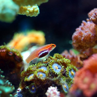
The most up-to-date global satellite images of the world’s coral reefs are now online, thanks to a collaboration between Microsoft’s late co-founder, Paul G. Allen, and a team of international partners including The University of Queensland.
2 November 2018